|
Many thanks for permission to use graphics from their software and toposheets |
|
|
17 June 2007 South Bethellspage 1 Today Dan and I followed a route that took us off the south end of the beach and after negotiating a mesh of interlocking tracks and paths we found ourselves on a farm road that led up the hill and round in a big loop via Lake Kawaupaka.
Nowhere did we pass a sign saying Private Property, No Trespassing or similar, though there were a couple of gates made from electric fencing material draped across the road, which we left as we found. I say all this because
As this track can be reached from a variety of other public access points it may be appropriate therefore to obtain necessary permission beforehand, which we would do in future. As far as I can make out, the telephone number you would call is
which sign we passed on the way out, but not on the way in. This is all easy walking, in the sense that the track is designed for 4WD vehicles, but is nevertheless quite steep in parts. Your poles will be useful on the hills, but not, as in many other tracks, necessary for balance.
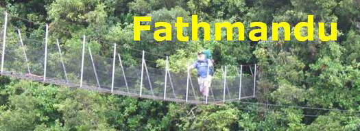
Fatman time for the approximately 6 km trip, including lunch and photography time was just over 4hr 45. We set off from the main carpark where the outdoor cafe was just getting set up - even in winter this is a popular spot - and made our way down the stream towards the lookout tower.
Alice is cautious, to begin with.
but soon gets right into it and has a ball, before returning to heel and behaving more decorously. Round the corner by the lookout tower, along the main beach and just a little further on are some dotterel, one of our rarer and more endangered birds.
Alice is quiet, and moves slightly ahead to check out something that smells wonderful. It's a rope of Durvillea antarctica, the metres long bull kelp that attaches to the headlands around here.
The boulders embedded or weathered in the sandstone here are quite fascinating. Again, I'd like a little more geology to understand what I'm looking at.
Thus far and no further.
We head back up to the high water mark where a track heads up from the beach. There's been a ramshorn tide recently.
I don't know the name of this succulent yellow daisy, but it is a prominent memberof this salt drenched plant community.
A hounds tongue fern is a little more exposed than I am used to seeing it.
and here is Tetragonia implexicoma, or Bower spinach, a close relation of the NZ spinach, Tetragonia tetragonioides, which is cultivated in many gardens.
|
|


